Explore the top 10 Big Sur National Parks with our guide on camping, wildlife, and thrilling activities!
Gear up for an epic quest through Big Sur’s legendary wilds! Forget the usual tourist snapshots; we’re diving off the beaten path into the heart of ten astonishing national parks.
From the secret whispers of ancient redwoods in Pfeiffer Big Sur State Park to the salty sea spray of Point Lobos, Big Sur is an adventurer’s playground.
Each park is a world unto itself, with campgrounds that promise stories around every fire pit and trails where your footsteps are the only ones you’ll hear.
Want to know the best spot to pitch a tent or the perfect trail for a sunset hike? How about coming face-to-face with the furry locals? Our guide doesn’t just tell you about these places; it puts you right in the middle of the action.
From towering forests to the untamed coastlines, we’re sharing our top Big Sur haunts, complete with all the dirt on where to camp, what critters you’ll meet, and the best activities to get your heart racing.
So slap on that sunscreen, fill up the water bottles, and let’s hit the trails—Big Sur’s natural wonders are calling your name!
Pfeiffer Big Sur State Park
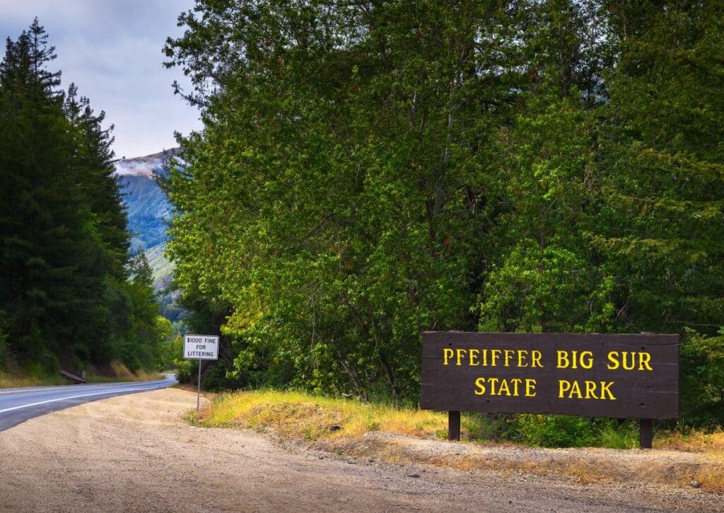
Pfeiffer Big Sur State Park, often dubbed the “mini-Yosemite,” spans a vast 1,006 acres in the heart of the Big Sur Valley.
Established in 1933, the park honors John Pfeiffer, an early settler who lived on this land. Instead of selling to a hotel developer, Pfeiffer chose to sell his property to the state of California, ensuring its natural beauty remained untouched for future generations.
Today, the park stands as a beacon of conservation and the raw beauty of California’s landscape.
Distance from Big Sur & How to Get There:
Pfeiffer Big Sur State Park is approximately 26 miles south of Carmel. The most direct route is along the renowned Highway 1.
The drive itself is an experience, with the vast Pacific Ocean on one side and towering redwoods and mountains on the other.
Camping and Campgrounds:
Pfeiffer Big Sur State Park provides diverse camping options. The primary campground has over 180 sites suitable for tents, trailers, and RVs.
Each site features a picnic table, fire ring, and access to restrooms with hot showers. For a more intimate experience with nature, the park has environmental campsites situated on bluffs overlooking the Big Sur River.
It’s advisable to reserve spots in advance, especially during peak seasons, through the California State Parks reservation system.
Wildlife:
Pfeiffer Big Sur State Park is a vibrant ecosystem teeming with diverse wildlife. Meadows frequently play host to black-tailed deer, gracefully grazing amidst the green.
In the denser parts of the forest, one might catch a glimpse of the secretive bobcat, moving silently through the underbrush. For avid birdwatchers, the park is a treasure trove.
The skies above may reveal the rare sight of the endangered California condor, while the colorful Steller’s jay can often be seen flitting from branch to branch.
Additionally, the pristine waters of the Big Sur River and its connecting streams are home to the steelhead trout, a testament to the park’s clean and thriving aquatic environment.
Hiking Trails and Other Activities:
Pfeiffer Big Sur State Park is a hiker’s paradise, offering a diverse range of trails that cater to both beginners and seasoned trekkers.
Each trail provides a unique perspective of the park’s varied landscapes, from dense redwood forests to open meadows and riverbanks.
Pfeiffer Falls Trail:
This is one of the park’s most popular trails, and for a good reason.
Spanning a manageable 1.4 miles round trip, hikers are rewarded with the sight of a mesmerizing 60-foot waterfall.
The trail is well-maintained, with clear signages, making it suitable for families.
As you approach the falls, the sound of cascading water becomes more pronounced, culminating in the breathtaking view of Pfeiffer Falls.
Mount Manuel Trail
For those looking for a challenge, the Mount Manuel Trail is a must-try.
This 8-mile round trip is demanding but offers unparalleled views as a reward. As you ascend, you’ll traverse through varied terrains, from shaded woodlands to open ridges.
Reaching the summit, you’re greeted with panoramic vistas of the Big Sur Valley, the Pacific Ocean, and the rugged peaks of the Ventana Wilderness.
It’s a trail that demands stamina, but the views are worth every drop of sweat.
Buzzard’s Roost
A moderately challenging trail, Buzzard’s Roost takes you on a 3-mile round trip through redwood groves and up a steep ascent to a vantage point with views of the Pacific coastline and the Big Sur River Gorge.
The trail is particularly beautiful in the late afternoon when the setting sun casts a golden hue over the landscape.
Valley View Overlook
For those short on time or seeking a less strenuous hike, the Valley View Overlook is a 0.75-mile trail that offers, as the name suggests, a splendid view of the Big Sur Valley and the distant ocean.
Apart from hiking, the Big Sur River is a central attraction within the park. During the warmer months, its clear waters beckon visitors for a refreshing swim.
The river’s banks are also perfect for relaxation, whether you’re sunbathing on a warm day or enjoying a riverside picnic.
For the more adventurous, the river offers opportunities for fishing, with the chance to catch steelhead trout during certain seasons.
Pfeiffer Big Sur State Park’s trails and activities offer a blend of adventure, relaxation, and awe-inspiring natural beauty, ensuring that every visitor finds their own unique way to connect with the great outdoors.
Things to Do:
- Nature Walks: The park organizes guided nature walks, introducing visitors to the region’s diverse flora, fauna, and geology.
- Star Gazing: The park’s remote location offers a pristine environment for observing the night sky, with the Milky Way often visible.
- Photography: Capture the park’s varied landscapes, from dense forests to the tranquil Big Sur River.
- Visitor Center: Delve deeper into the park’s history and ecology through interactive exhibits and presentations.
- Picnicking: The park’s meadows provide ideal spots for a relaxing picnic amidst nature.
- River Exploration: Engage in activities like fishing or simply relax by the river’s edge, listening to the soothing sounds of flowing water.
- Cycling: Certain trails and roads within the park are open to cyclists, offering a different perspective of the park’s beauty.
- Wildlife Observation: Dedicated observation points and the natural tranquility of the park make it a prime location for watching animals in their natural habitat.
- Campfire Programs: During certain seasons, rangers host evening campfire programs, sharing stories, and insights about the park.
Pfeiffer Big Sur State Park offers a comprehensive experience, from its diverse activities to its rich history and ecology.
Visitors are sure to depart with a deep appreciation for this Californian gem and memories to cherish.
Henry W. Coe State Park
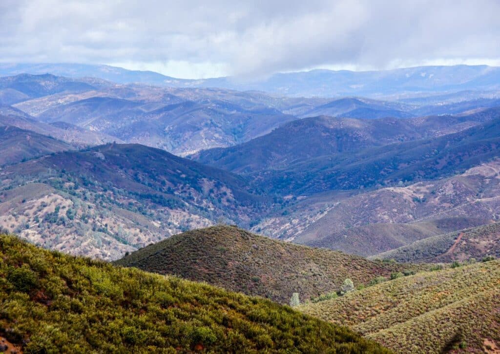
Sprawling over an impressive 87,000 acres, Henry W. Coe State Park stands as a monumental testament to the natural wonders of northern California.
As the largest state park in this part of the state, its vastness is only rivaled by its ecological diversity.
From dense oak forests to open chaparral-covered hillsides, the park offers a mosaic of habitats, each teeming with life and waiting to be explored.
Distance from Big Sur & How to Get There:
Situated approximately 150 miles north of Big Sur, reaching Henry W. Coe State Park is a journey through some of California’s most scenic landscapes.
The most efficient route involves taking the iconic CA-1 N, transitioning to US-101 N, and then onto E Dunne Ave, leading directly to the park.
This drive, which takes roughly 3 hours, offers glimpses of the Pacific coastline, verdant valleys, and the undulating topography of the Californian landscape.
Camping and Campgrounds:
For those who truly wish to immerse themselves in the park’s natural beauty, camping is the way to go. Henry W. Coe State Park is renowned for its backcountry camping experience.
Unlike traditional campgrounds, backcountry camping allows adventurers to set up camp in more remote, pristine areas of the park. This offers a level of solitude and connection with nature that’s hard to match.
The park has designated backcountry sites, ensuring minimal impact on the environment.
Facilities vary by site, but most offer basic amenities like fire rings and nearby water sources. Given the park’s popularity, especially during peak seasons, reservations are recommended.
These can be made through the California State Parks reservation system, which provides details on site availability, facilities, and any associated fees.
Wildlife:
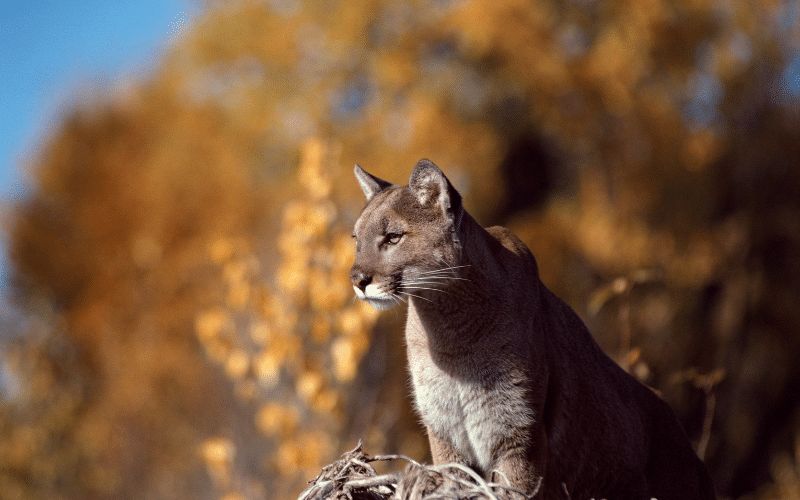
The diverse habitats within Henry W. Coe State Park support a rich tapestry of wildlife. Mammalian inhabitants include black-tailed deer, coyotes, and the elusive mountain lion.
Birdwatchers will find the park a paradise, with over 200 recorded species. This includes raptors like the golden eagle and the red-tailed hawk.
The park’s water bodies are home to amphibians such as the California red-legged frog, a species of concern due to its declining populations.
The park’s commitment to conservation ensures that these species, and many others, have a protected haven to thrive in.
Hiking Trails and Other Activities:
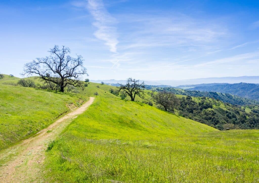
With over 250 miles of trails, the park caters to hikers of all skill levels.
Novices might opt for the relatively flat Corral Trail, a 1.1-mile loop offering views of the park’s varied landscapes.
For the more experienced, the challenging 6-mile Middle Ridge Trail promises unparalleled vistas of the surrounding valleys and peaks.
Beyond hiking, the park’s vastness offers a plethora of recreational activities. Its trails are open to mountain bikers, providing routes that range from gentle slopes to adrenaline-pumping descents.
Equestrians, too, can explore the park on horseback, with certain trails designated for this purpose.
Things to Do:
- Fishing: The park’s lakes, such as Coit Lake and Kelly Lake, are teeming with species like bass, making them popular spots for anglers.
- Horseback Riding: With dedicated equestrian camps and trails, the park is a haven for riders.
- Mountain Biking: The varied terrain offers challenges for bikers of all skill levels.
- Nature Programs: Rangers conduct guided walks and talks, offering insights into the park’s rich ecology.
- Photography: The park’s landscapes, from sunrises over ridges to wildlife in their natural habitats, offer endless opportunities for photographers.
- Stargazing: The park’s remote location ensures dark skies, making it a prime spot for astronomy enthusiasts.
- Picnicking: Designated picnic areas provide a relaxing way to enjoy the park’s beauty.
Henry W. Coe State Park is not just a destination; it’s an experience.
Every trail, every campsite, and every activity offers a chance to connect with nature, making it a must-visit for anyone venturing to northern California.
Julia Pfeiffer Burns State Park
Julia Pfeiffer Burns State Park, named in honor of a respected pioneer woman from the Big Sur country, is a stunning coastal park in Monterey County.
Covering approximately 3,762 acres, it’s a relatively compact park but is packed with natural wonders.
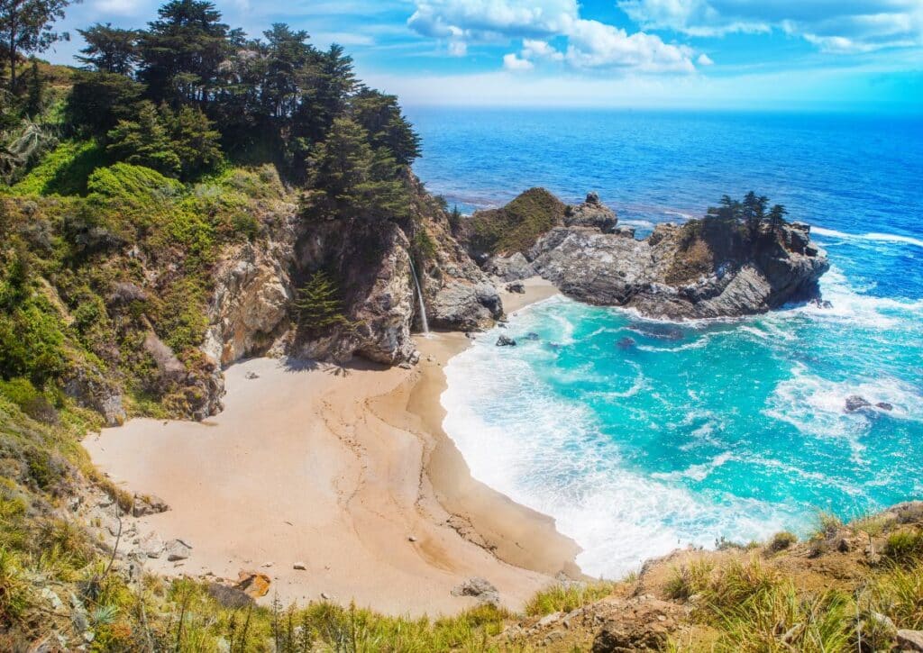
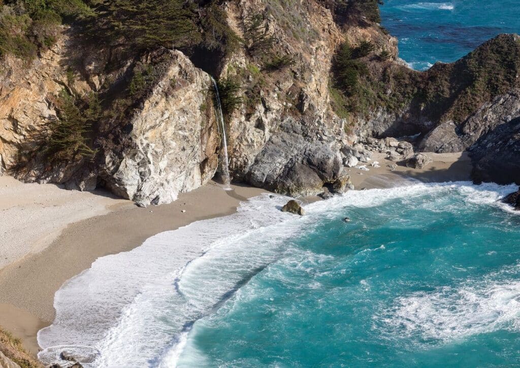
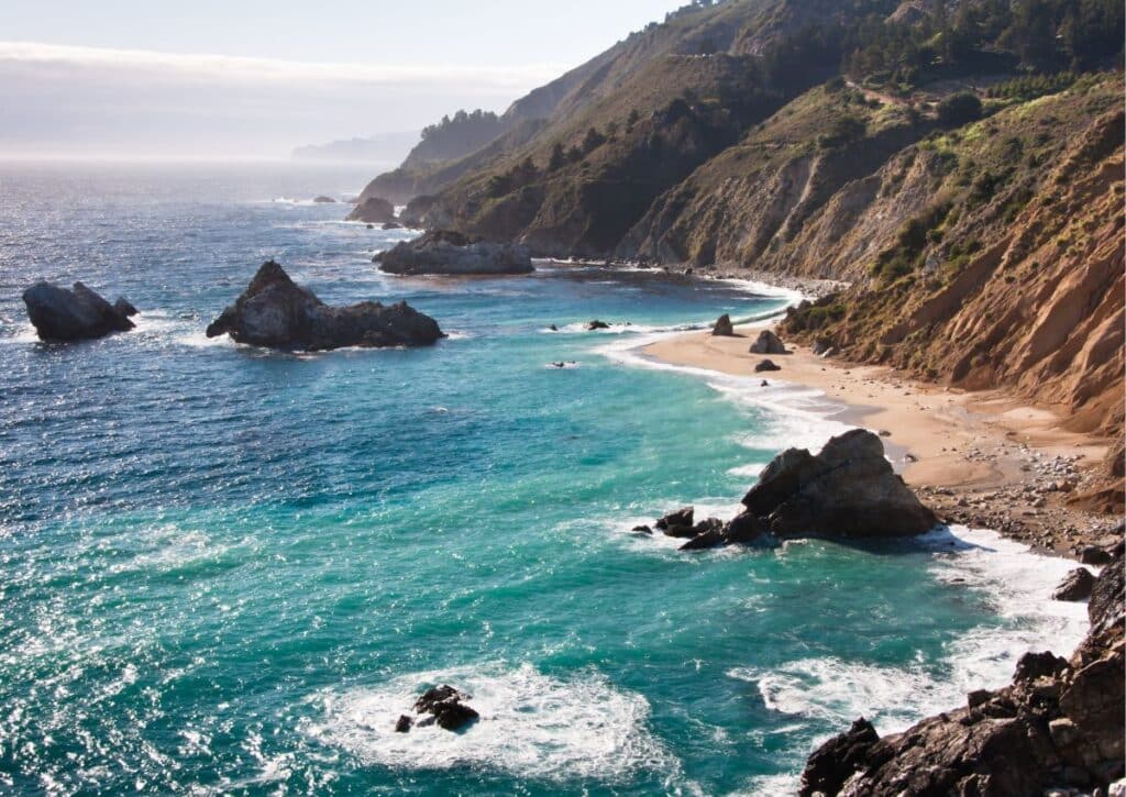
The park is renowned for its iconic 80-foot McWay Falls, which tumbles directly into the Pacific Ocean, a sight that has become synonymous with the beauty of the Big Sur coast.
Established in 1962, the park serves as a living tribute to Julia Pfeiffer Burns, whose love for the land and its natural beauty was well-known in the community.
Distance from Big Sur & How to Get There:
Julia Pfeiffer Burns State Park is located just about 13 miles south of the main Big Sur area.
The most direct and scenic route is along the famous Highway 1. The drive itself is a visual treat, with the vast Pacific Ocean on one side and towering cliffs and forests on the other.
Camping and Campgrounds:
Julia Pfeiffer Burns State Park offers a truly unique camping experience, allowing visitors to immerse themselves in the beauty of Big Sur’s coastline.
The park’s primary camping attraction is the Environmental Campgrounds, perched on cliffs overlooking the vast Pacific Ocean.
There are two main sites within this campground: Site 1 and Site 2. Both are situated to provide campers with breathtaking ocean views, making for an unforgettable sunrise and sunset experience.
Due to their prime location and the limited number of sites, they are in high demand and often booked months in advance.
Each site is thoughtfully equipped. Campers have access to a picnic table for meals amidst nature, a food storage box to keep provisions safe from wildlife, and a stove for cooking.
While the sites offer a sense of seclusion, restroom facilities are conveniently located nearby, ensuring comfort.
Given the popularity of these sites, it’s essential to plan ahead. Reservations can be made through the California State Parks reservation system.
It’s not just a place to pitch a tent; it’s an opportunity to sleep under the stars, lulled by the sound of waves, in one of California’s most iconic landscapes.
Wildlife:
The park’s coastal and forested environments support a variety of wildlife.
Visitors might spot black-tailed deer grazing in clearings or hear the bark of sea lions from the shores below.
The dense forests provide shelter for creatures like the gray fox and raccoons.
Bird enthusiasts can look out for the California condor, peregrine falcon, and the Anna’s hummingbird, among others.
Hiking Trails and Other Activities:
Julia Pfeiffer Burns State Park offers several trails that showcase its diverse landscapes:
McWay Waterfall Overlook Trail: This easy 0.64-mile round trip trail leads to an overlook with a direct view of the iconic McWay Falls. It’s accessible and offers one of the most photographed views in California.
Ewoldsen Trail: A more challenging 4.5-mile loop, this trail takes hikers through redwood groves, alongside creeks, and offers panoramic coastal views from certain vantage points.
Canyon Trail: This trail, spanning about 0.5 miles, takes visitors through a serene redwood-filled canyon alongside a babbling creek.
Things to Do:
- Tide Pool Exploration: At low tide, the park’s rocky coastline reveals tide pools teeming with marine life.
- Photography: From the iconic McWay Falls to the dense redwood forests, the park offers endless photographic opportunities.
- Whale Watching: During migration seasons, the park’s coastal vantage points offer opportunities to spot gray whales.
- Picnicking: There are designated areas where visitors can enjoy a meal amidst the park’s natural beauty.
- Nature Programs: Rangers often conduct guided walks and talks, providing insights into the park’s ecology and history.
Julia Pfeiffer Burns State Park, though smaller in size compared to some of its neighbors, offers a concentrated dose of Big Sur’s beauty.
From its iconic waterfall to its serene redwood canyons, it’s a destination that captures the essence of California’s rugged coastline.
Point Lobos State Natural Reserve
Point Lobos State Natural Reserve, often referred to as the “crown jewel” of California’s state park system, is a mesmerizing blend of terrestrial and marine habitats.
Located just south of Carmel-by-the-Sea, this reserve is a testament to the rugged beauty of the Big Sur coastline. Its history is rich, with tales of native tribes, whalers, and abalone fishermen.
Today, it stands as a protected area, preserving not just the land but also the marine environment, making it an essential ecological spot in the Big Sur region.
Distance from Big Sur & How to Get There:
Point Lobos is approximately 30 miles north of the central Big Sur area.
The most scenic route is undoubtedly along Highway 1, offering panoramic views of the coastline.
This drive, which takes roughly 40 minutes, is a visual journey through California’s iconic coastal landscapes.
Camping and Campgrounds:
Unlike many state parks and reserves, Point Lobos State Natural Reserve does not offer traditional camping facilities.
This decision helps preserve the delicate ecosystems and ensures minimal human impact on the environment.
However, for those keen on staying nearby, there are several campgrounds in the surrounding areas, including the nearby Pfeiffer Big Sur State Park, which offers over 180 campsites.
Wildlife:
Given its coastal location, Point Lobos boasts a rich marine life.
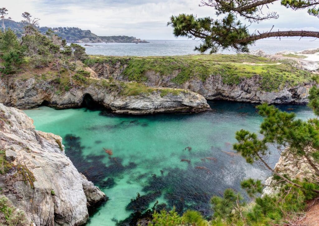
The reserve’s underwater area is a designated marine protected area, ensuring the conservation of species like sea otters, seals, and sea lions.
Kelp forests sway with the currents, providing shelter for a myriad of fish species. Bird enthusiasts will be thrilled with the variety, from cormorants to oystercatchers.
On land, visitors might encounter mammals like the gray fox, black-tailed deer, and raccoons.
Hiking Trails and Other Activities:
Point Lobos offers a range of trails, most of which emphasize its coastal beauty:
Sea Lion Point Trail: This short, 0.6-mile loop offers views of sea lions and seals, especially during their breeding seasons.
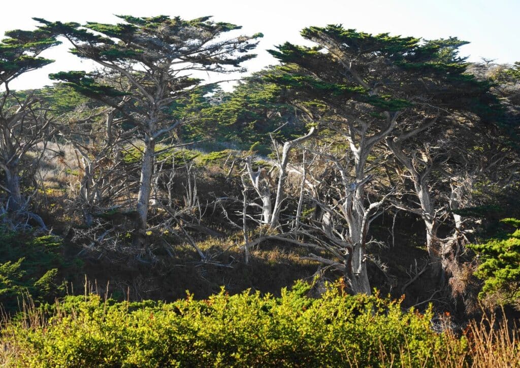
Cypress Grove Trail: Spanning 0.8 miles, this trail winds through one of the only two naturally growing stands of Monterey cypress trees in the world.
Bird Island Trail: A 0.8-mile round trip, this trail leads to Gibson Beach and offers birdwatching opportunities, especially during nesting seasons.
Water-based activities, while limited to ensure marine conservation, include scuba diving and snorkeling in designated areas, offering a glimpse into the rich underwater world of the reserve.
Things to Do:
- Explore Tide Pools: Venture to the reserve’s rugged coastline to discover fascinating tide pools, alive with creatures such as starfish, anemones, and crabs.
- Witness Whale Migrations: Point Lobos serves as an excellent vantage point for observing whales, particularly during their migration periods when gray whales gracefully traverse the coastal waters.
- Capture the Beauty: Seize the chance to photograph the reserve’s captivating landscapes, from its craggy coastlines to the diverse marine inhabitants.
- Join Guided Walks: Benefit from the knowledge of park rangers who regularly lead informative tours, delving into the reserve’s rich history, diverse ecology, and vibrant marine ecosystems.
Point Lobos State Natural Reserve is a sanctuary where land meets sea. Its protected status ensures that future generations can marvel at its beauty, just as countless visitors have done over the years.
Los Padres National Forest
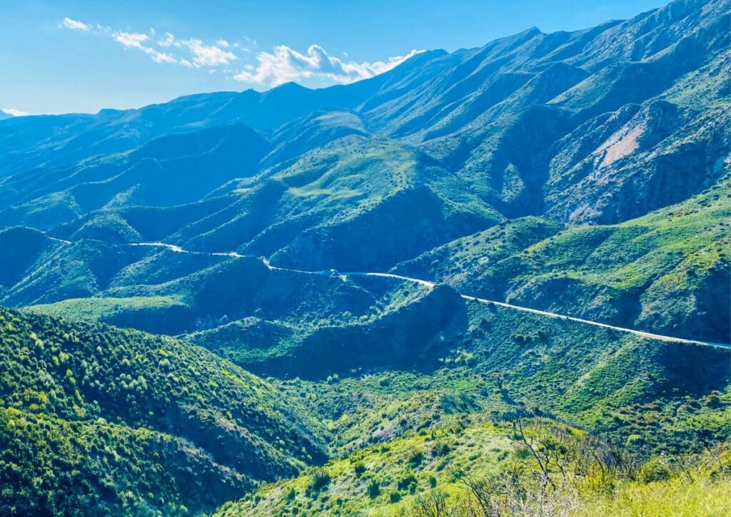
Spanning nearly 1.95 million acres, Los Padres National Forest is a vast expanse of wilderness that stretches across the central and southern parts of California.
Established in 1936, this national forest encompasses a diverse range of ecosystems, from coastal terrains to mountainous regions.
Its significance lies not just in its size but also in its role as a protector of watersheds, wildlife habitats, and as a provider of recreational opportunities for millions.
Distance from Big Sur & How to Get There:
The northern edge of Los Padres National Forest is approximately 20 miles from Big Sur.
The most direct route involves taking the CA-1 S, which offers breathtaking views of the Pacific coastline.
This journey, depending on the specific destination within the forest, can take anywhere from 30 minutes to an hour.
Camping and Campgrounds:
Los Padres National Forest offers a plethora of camping opportunities, catering to both tent campers and RV enthusiasts.
There are numerous developed campgrounds like the Kirk Creek Campground and Plaskett Creek Campground, which provide facilities such as picnic tables, fire rings, and restrooms.
For those seeking a more remote experience, the forest also permits dispersed camping in specific areas.
Reservations for developed campgrounds can be made through the National Recreation Reservation System, while dispersed camping areas operate on a first-come, first-served basis.
Wildlife:
The diverse habitats within Los Padres National Forest support a rich array of wildlife. Mammals such as black bears, mountain lions, and bobcats roam the dense woodlands.
Birdwatchers can spot species like the California condor, peregrine falcon, and the spotted owl. The forest’s rivers and streams are home to fish species like the steelhead trout and the arroyo toad.
Hiking Trails and Other Activities:
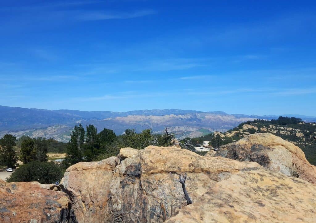
With thousands of miles of trails, Los Padres National Forest is a hiker’s paradise:
Boronda Trail: This challenging 11-mile trail offers panoramic views of the coastline and the Santa Lucia Mountains.
Pine Ridge Trail: A popular 19-mile trail that takes hikers through redwood groves and offers views of the Big Sur River Gorge.
San Rafael Wilderness: This area offers multiple trails of varying lengths, taking hikers through chaparral-covered hillsides and oak woodlands.
Apart from hiking, the forest offers activities like mountain biking, horseback riding, and off-road vehicle trails.
Things to Do:
- Fishing: The forest’s water bodies offer opportunities for both freshwater and saltwater fishing.
- Picnicking: There are designated picnic areas where visitors can enjoy meals amidst the forest’s beauty.
- Wildlife Viewing: With its diverse fauna, the forest is an excellent location for wildlife observation.
- Stargazing: The forest’s remote areas, away from city lights, provide pristine conditions for observing the night sky.
- Nature Programs: Rangers and volunteers often conduct educational programs, workshops, and guided tours, providing insights into the forest’s ecology and history.
Los Padres National Forest is a vast playground for nature enthusiasts, offering a blend of recreational activities and serene landscapes.
Whether you’re trekking through its trails, camping under the stars, or simply soaking in its natural beauty, the forest promises an experience that resonates with the soul.
Also Read: A GUIDE TO LOS PADRES NATIONAL FOREST: ANIMALS, HIKING TRAILS AND WILDERNESS AREAS!
Garrapata State Park
Garrapata State Park, a hidden gem along the Big Sur coastline, spans approximately 2,939 acres.
While it might not be as widely recognized as some of its neighboring parks, its beauty is undeniable. The park showcases the quintessential rugged Californian coast, with its dramatic sea cliffs, sandy beaches, and dense redwood groves.
Established as a state park in the 1970s, Garrapata serves as a testament to California’s commitment to preserving its natural wonders for generations to come.
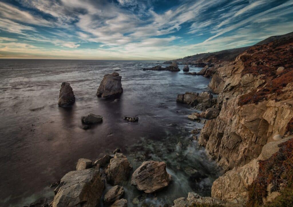
Distance from Big Sur & How to Get There:
Garrapata State Park is located just about 10 miles north of the central Big Sur area.
The most straightforward route is along the scenic Highway 1.
This short drive, taking roughly 15 minutes, offers panoramic views of the Pacific Ocean and the iconic Big Sur coastline.
Camping and Campgrounds:
Unlike many other state parks in the region, Garrapata State Park does not offer traditional camping facilities.
This decision helps maintain the park’s pristine environment and minimizes human impact.
However, for those keen on camping, nearby state parks like Andrew Molera State Park offer camping options.
Wildlife:
Garrapata’s diverse habitats are home to a variety of wildlife. The coastal areas provide habitats for sea lions, harbor seals, and sea otters.
Inland, the dense forests and chaparral are roamed by animals like black-tailed deer, bobcats, and the gray fox.
Bird enthusiasts can spot species such as the red-tailed hawk, Anna’s hummingbird, and the California quail.
Hiking Trails and Other Activities:
Garrapata State Park boasts a network of trails that highlight its varied landscapes:
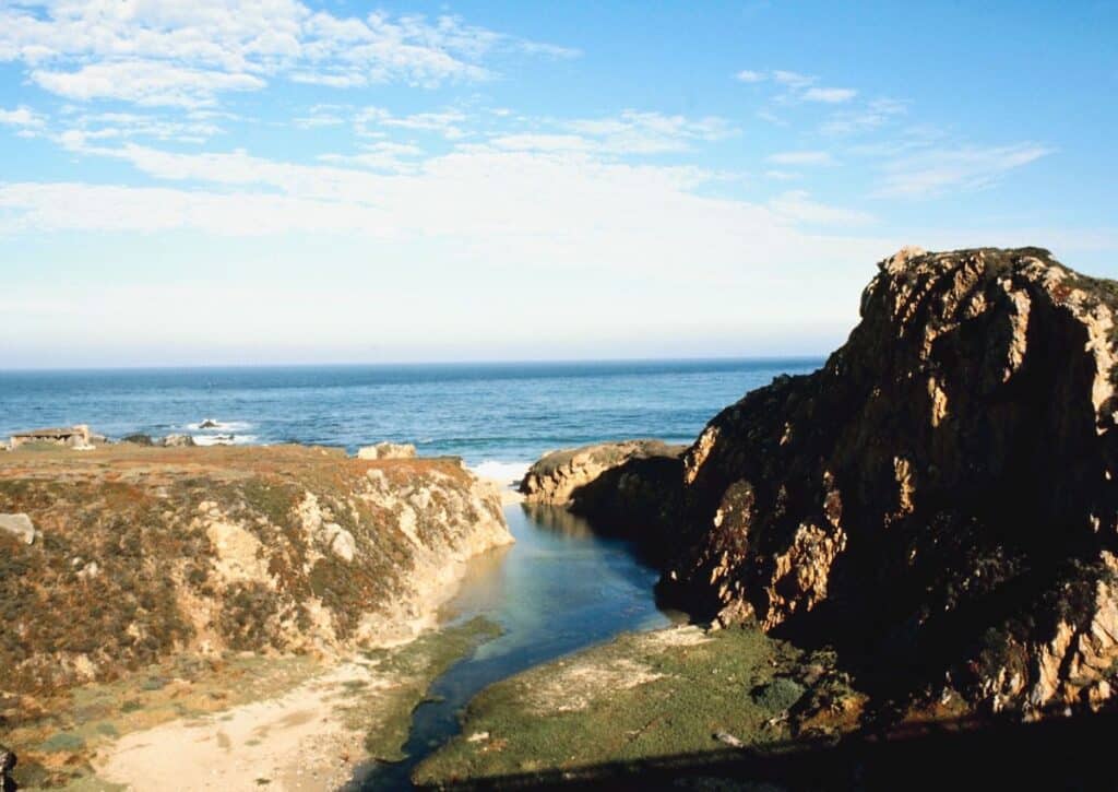
Soberanes Canyon Trail: This 4.7-mile loop takes hikers through redwood groves, alongside a bubbling creek, and offers panoramic coastal views.
Rocky Ridge Trail: A challenging 5-mile round trip, this trail rewards hikers with sweeping vistas of the coastline and the Santa Lucia Mountains.
Beach Trails: Several shorter trails lead directly to the park’s sandy beaches, offering opportunities for relaxation and tide pooling.
Things to Do:
- Beachcombing: The park’s beaches are perfect for exploring, with the chance to find unique shells and marine debris.
- Tide Pooling: At low tide, the rocky intertidal zones reveal pools teeming with marine life like starfish, anemones, and crabs.
- Photography: Garrapata’s landscapes, from its sea cliffs to its redwood canyons, offer endless photographic opportunities.
- Birdwatching: With its diverse avian population, the park is a haven for bird enthusiasts.
- Picnicking: There are designated areas where visitors can enjoy a meal with views of the Pacific Ocean.
Garrapata State Park, with its blend of coastal beauty and rugged inland terrains, offers visitors a chance to experience the essence of Big Sur in a more intimate setting.
Whether you’re hiking its trails, exploring its beaches, or simply soaking in its natural beauty, Garrapata promises a memorable experience.
Limekiln State Park
Limekiln State Park is a 711-acre wonder that beautifully marries California’s rich history with its natural beauty.
The park is named after the limestone kilns built in the 19th century, which were used to produce lime, a key ingredient in cement.
These historical remnants, set against the backdrop of towering redwoods and the rugged coastline, make Limekiln State Park a unique destination in the Big Sur region.
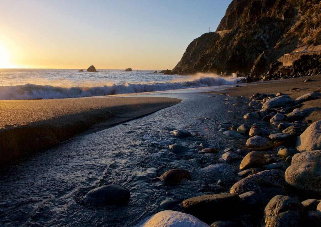
Distance from Big Sur & How to Get There:
Limekiln State Park is located approximately 22 miles south of the central Big Sur area. The most direct route is along the scenic Highway 1.
This drive, taking roughly 30 minutes, is a journey through the iconic landscapes of Big Sur, with the vast Pacific Ocean on one side and majestic cliffs on the other.
Camping and Campgrounds:
Limekiln State Park offers a cozy camping experience with 31 campsites spread across two main areas.
The Redwood Campsites are situated amidst the dense redwood forest, offering shade and a serene ambiance, while the Oceanview Campsites provide campers with the soothing sounds of the Pacific waves.
Each site is equipped with a picnic table, fire ring, and access to restroom facilities. Given the park’s popularity, reservations are recommended and can be made through the California State Parks reservation system.
Wildlife:
The park’s diverse habitats are a haven for various wildlife species.
In the dense redwood forests, visitors might spot black-tailed deer, raccoons, and the occasional bobcat.
The coastal areas are frequented by sea birds like the black oystercatcher and the western gull.
The park’s streams and creeks are habitats for the steelhead trout and the Pacific giant salamander.
Hiking Trails and Other Activities:
Limekiln State Park offers several trails that cater to hikers of all levels:
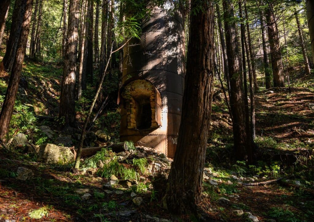
Limekiln Trails: This 2.2-mile round trip takes hikers past the historic lime kilns, providing a glimpse into the park’s industrial past.
Hare Creek Trail: A shorter 0.6-mile trail, it follows the serene Hare Creek through a dense redwood canopy.
Falls Trail: This 1.5-mile round trip leads to the mesmerizing Limekiln Falls, a 100-foot waterfall that cascades down a limestone cliff.
Things to Do:
- Historical Exploration: Visit the old lime kilns, which stand as a testament to the park’s industrial history.
- Beach Activities: The park’s beach is perfect for relaxation, picnicking, and exploring tide pools.
- Photography: Capture the beauty of the redwood forests, historic kilns, and the rugged coastline.
- Birdwatching: With its diverse avian population, the park is a prime spot for bird enthusiasts.
- Stream Exploration: The park’s streams offer opportunities to spot aquatic life and enjoy the soothing sounds of flowing water.
Limekiln State Park is a destination that offers a harmonious blend of history and nature.
Whether you’re exploring its trails, delving into its past, or simply soaking in the tranquility of its redwood groves, the park promises a rejuvenating experience.
Regenerate
Andrew Molera State Park
Andrew Molera State Park, encompassing over 4,800 acres, is one of the largest state parks in the Big Sur region.
Named in honor of Andrew Molera, who introduced commercial farming to Big Sur, the park stands as a testament to the region’s agricultural history.
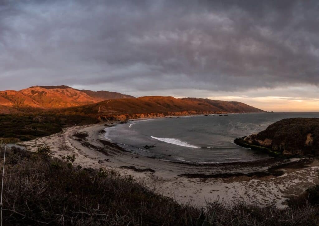
With its vast meadows, dense forests, and pristine beaches, the park offers a diverse landscape that beautifully captures the essence of Big Sur’s natural beauty.
Distance from Big Sur & How to Get There:
Andrew Molera State Park is located just about 21 miles south of Carmel. The most direct route is along the iconic Highway 1. This drive, taking roughly 25 minutes, offers uninterrupted views of the Pacific Ocean, rugged cliffs, and the verdant Big Sur landscapes.
Camping and Campgrounds:
The park offers a unique “walk-in” camping experience at the Trail Camp.
This campground, situated a short distance from the parking area, has 24 campsites available on a first-come, first-served basis.
Each site is equipped with a picnic table and a fire pit. Restroom facilities and potable water are available nearby.
Given the campground’s popularity and the absence of a reservation system, it’s advisable to arrive early, especially during peak seasons.
Wildlife:
Andrew Molera State Park’s varied habitats are home to a plethora of wildlife. The coastal areas and meadows are frequented by black-tailed deer and the elusive bobcat.
The park’s dense forests provide shelter for animals like raccoons, gray foxes, and skunks.
Bird enthusiasts can spot species such as the red-tailed hawk, California quail, and the vibrant western bluebird.
Hiking Trails and Other Activities:
The park boasts an extensive trail system that caters to hikers of all levels:
Bluff Trail: This 4.8-mile loop offers panoramic views of the coastline and leads to a secluded beach.
Creamery Meadow Trail: A relatively flat 2-mile round trip, this trail takes hikers through vast meadows to the park’s main beach.
Ridge Trail: For those seeking a challenge, this 8.8-mile loop offers sweeping vistas of the Big Sur River Valley and the Santa Lucia Mountains.
Apart from hiking, the park’s expansive beach is popular for surfing, especially during the winter months.
Things to Do:
- Beach Activities: The park’s main beach is perfect for sunbathing, picnicking, and beachcombing.
- Horseback Riding: Certain trails within the park are designated for equestrian use.
- Photography: Capture the beauty of the park’s diverse landscapes, from its meadows to its rugged coastline.
- Birdwatching: With its rich avian diversity, the park is a haven for bird enthusiasts.
- Nature Walks: Rangers often conduct guided walks, offering insights into the park’s ecology and history.
Andrew Molera State Park, with its blend of meadows, forests, and coastline, offers a comprehensive Big Sur experience.
Whether you’re hiking its trails, riding a horse through its meadows, or simply soaking in the views, the park promises a memorable encounter with nature.
Carmel Valley
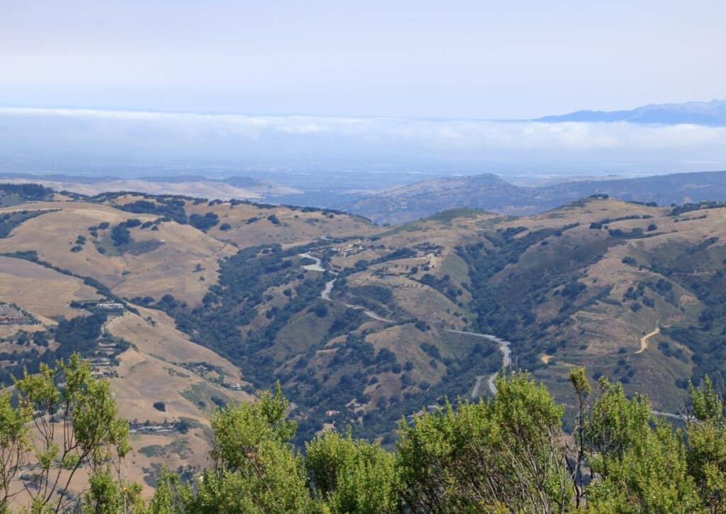
Carmel Valley is a sun-kissed enclave known for its premium wineries and vineyards. This wine country valley, with its Mediterranean climate, has a rich history of viticulture that dates back to the early Spanish settlers.
Over the years, Carmel Valley has evolved from a rustic ranching community to a premier wine destination, all while maintaining its quaint charm and pastoral beauty.
Its position on the Monterey Peninsula ensures it’s shielded from the coastal fog, making it ideal for grape cultivation and wine production.
Distance from Big Sur & How to Get There:
Carmel Valley is approximately 45 miles north of Big Sur. The most recommended route is via the CA-1 N and Carmel Valley Rd.
This drive, which takes about an hour, offers a scenic journey through the rugged coastline of Big Sur, transitioning into the lush landscapes of the valley as you approach your destination.
Camping and Campgrounds:
While Carmel Valley itself doesn’t have traditional campgrounds, there are several luxurious lodges and boutique inns that offer a unique stay amidst the vineyards.
For those seeking a more rustic experience, nearby areas on the Monterey Peninsula offer camping options.
Wildlife:
Carmel Valley’s unique ecosystem, with its combination of vineyards, oak woodlands, and grassy meadows, supports a variety of fauna.
It’s not uncommon to spot mule deer grazing amidst the vineyards or to hear the call of the red-tailed hawk soaring above.
The region’s numerous creeks and ponds also attract a variety of bird species, making it a delightful spot for birdwatching.
Hiking Trails and Other Activities:
While wine tours and tasting sessions dominate the activities in Carmel Valley, the region also offers several hiking opportunities:
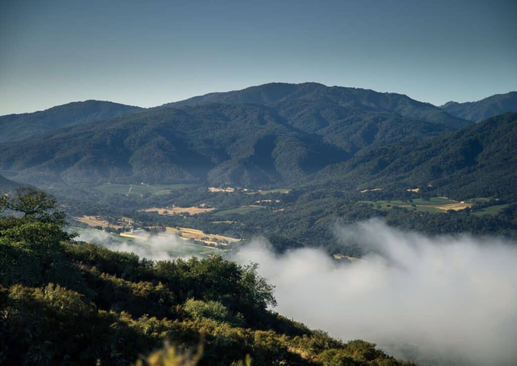
Garland Ranch Regional Park: This park offers trails of varying difficulty levels, with some leading to waterfalls and others offering panoramic views of the valley.
Vineyard Tours: Many of the valley’s wineries offer guided tours, providing insights into the wine-making process, from grape cultivation to bottling.
Wine Tasting Sessions: With numerous tasting rooms dotted throughout the valley, visitors can sample a diverse range of wines, from robust reds to crisp whites.
Things to Do:
- Winery Hopping: Explore the numerous wineries, each offering its unique ambiance and selection of wines.
- Local Festivals: The valley hosts several wine-related festivals throughout the year, celebrating its rich viticultural heritage.
- Culinary Experiences: Many local restaurants and bistros offer wine-pairing dinners, showcasing the best of Carmel Valley’s produce.
- Art Galleries: The valley’s serene beauty has inspired many artists, leading to a thriving art scene with several galleries displaying local artworks.
- Spa Retreats: Indulge in a spa treatment at one of the valley’s luxury resorts, often incorporating wine-based therapies.
Carmel Valley offers a blend of rustic charm and sophisticated indulgence. Whether you’re sipping on a glass of award-winning Pinot Noir, hiking through its scenic trails, or simply soaking in the valley’s tranquil ambiance, Carmel Valley promises an experience that lingers in memory.
Ventana Wilderness
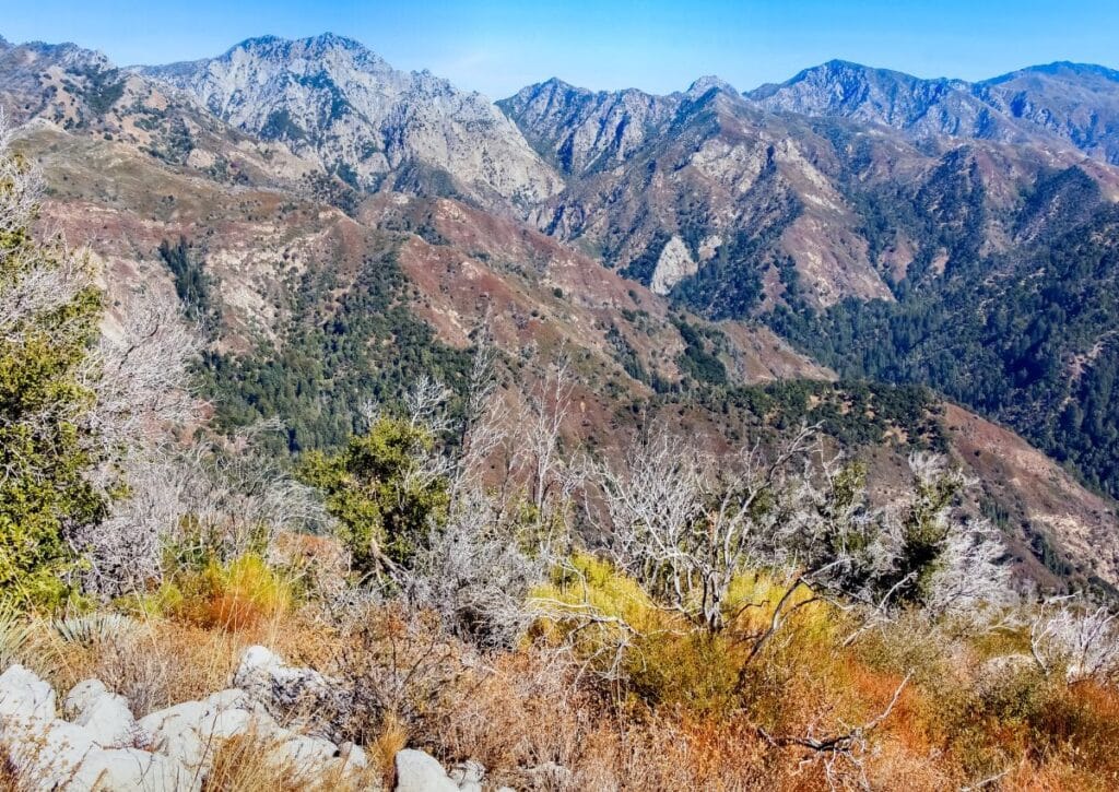
The Ventana Wilderness, a rugged expanse within the Los Padres National Forest, spans over 240,000 acres of untouched beauty.
Designated as a wilderness area in 1969, this region is characterized by its steep terrains, dense forests, and deep canyons.
The name “Ventana” comes from the Spanish word for window, inspired by a unique rock formation known as “The Window” or “La Ventana.”
This wilderness area stands as a testament to California’s commitment to preserving its wild spaces, offering a sanctuary for both nature and those who seek its solace.
Distance from Big Sur & How to Get There:
The Ventana Wilderness is adjacent to the Big Sur region, with its western boundary running parallel to the Pacific Ocean.
Access points vary, but one of the primary entrances is via the Pine Ridge Trail, which starts near the Big Sur Station, just a few miles from the heart of Big Sur.
Camping and Campgrounds:
The Ventana Wilderness offers a true backcountry camping experience. There are no developed campgrounds within the wilderness boundaries.
Instead, campers can set up at dispersed sites, ensuring they follow Leave No Trace principles. Popular camping areas include Sykes Camp along the Pine Ridge Trail and Terrace Creek.
Given the wilderness designation, permits are required for overnight stays, which can be obtained from the Los Padres National Forest offices.
Wildlife:
The diverse habitats of the Ventana Wilderness support a myriad of wildlife species. Black bears, mountain lions, and bobcats are some of the larger mammals that roam these lands.
The region is also home to the endangered California condor, and it’s not uncommon for hikers to spot these majestic birds soaring above.
Streams and rivers in the area are habitats for the steelhead trout, while the dense forests provide shelter for countless bird and insect species.
Hiking Trails and Other Activities:
The Ventana Wilderness boasts an extensive trail network, offering routes for both novice hikers and seasoned backpackers:
Pine Ridge Trail: This popular trail stretches for about 23 miles, leading hikers through redwood groves, alongside the Big Sur River, and offering panoramic views of the Ventana Double Cone.
Boronda Trail: A challenging ascent, this trail rewards hikers with sweeping vistas of the Pacific Ocean and the Big Sur coastline.
Willow Creek Trail: This trail offers a mix of terrains, from dense forests to open ridges, providing a comprehensive wilderness experience.
Things to Do:
- Backpacking: The vastness of the Ventana Wilderness makes it ideal for multi-day backpacking trips.
- Photography: The pristine landscapes, from dense redwood canyons to open ridges, offer endless photographic opportunities.
- Birdwatching: With its diverse avian population, the wilderness is a haven for bird enthusiasts.
- Stargazing: Far from city lights, the wilderness offers pristine conditions for observing the night sky.
- Nature Meditation: The tranquility of the Ventana Wilderness provides the perfect backdrop for meditation and reflection.
The Ventana Wilderness offers an unspoiled retreat for those looking to immerse themselves in nature.
Whether you’re trekking its challenging trails, camping under the stars, or simply soaking in its tranquil beauty, this wilderness area promises a rejuvenating and memorable experience.
Conclusion
Big Sur and its neighboring regions encapsulate the essence of California’s diverse and captivating beauty.
From the serene shores of Garrapata State Park to the historical remnants in Limekiln State Park, and from the vine-clad valleys of Carmel to the pristine expanses of Ventana Wilderness, each area offers a distinct experience.
For adventurers, nature lovers, or anyone looking to reconnect with the outdoors, this region is a mosaic of memorable moments.
As you navigate through these national and state parks, you’re diving deep into a blend of history, culture, and nature’s splendor.
Whether you’re an avid hiker, a history enthusiast, a wine lover, or simply someone with a passion for exploration, Big Sur invites you to create lasting memories in its embrace.
