Explore 12 key stops on Trail Ridge Road for the ultimate Rocky Mountain drive experience.
Ready for a road trip that’s more than just a dotted line on a map? Buckle up for Trail Ridge Road, Rocky Mountain National Park’s highway to the sky. This isn’t your average Sunday drive; it’s a front-row ticket to nature’s grandeur.
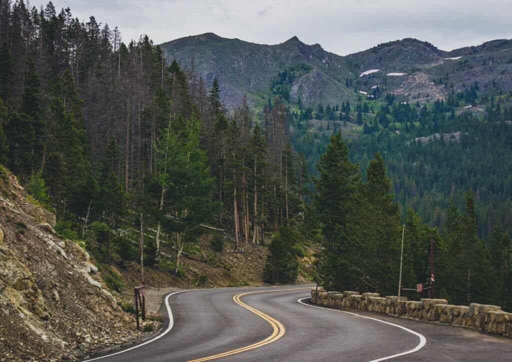
Imagine rolling windows down, the crisp mountain air mingling with the scent of pine, as you navigate America’s highest continuous paved road.
We’ve scouted ahead to chart out the must-see stops, the hidden trails that beckon the curious, and the secret spots where wildlife roam free. We’re here to guide you through each twist and turn, ensuring you soak in every vista and whispering forest.
From the quaint charm of Estes Park to the reflective waters of Grand Lake, we’ll help you make every mile count.
Whether it’s scaling Alpine Ridge or spotting elk in the wild, our guide is your compass to the wonders of Trail Ridge Road. So, let’s rev those engines and discover the peaks and valleys that await!
Overview of the Trail Ridge Road
Winding its way through the heart of the Rocky Mountain National Park, the Trail Ridge Road offers travelers a captivating journey, presenting a mosaic of nature’s grandeur at every turn.
This iconic route is more than just a means to travel within the park—it’s an unforgettable experience, unparalleled in its beauty and wonder.
A Bit of History
Born out of vision and ambition in the 1930s, the Trail Ridge Road was developed to connect the vast expanse of the Rocky Mountains to the ever-growing number of nature enthusiasts.
Its construction was a monumental achievement, bringing to life a roadway that would grant visitors deep access into the park’s wonders. As time went on, its significance transcended its original purpose.
The Trail Ridge Road became not just a passage but an integral part of the park’s narrative, allowing generations to immerse themselves in the Rockies’ majesty.
Practical Insights for the Journey
Stretching the Distance: Covering a span of 48 miles, the Trail Ridge Road is a thoroughfare through the park’s diverse terrains. From dense, verdant woodlands to ethereal alpine tundras, the road offers a comprehensive introduction to the park’s multifaceted landscapes.
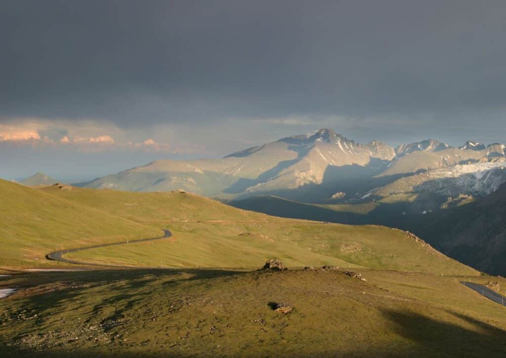
Time on the Road: While one could traverse the road in roughly 2 hours, the true essence of the Trail Ridge Road lies in the journey, not the destination. With scenic vistas, wildlife spotting zones, and restful pull-offs, many visitors choose to pace their drive, ensuring they capture the full spectrum of experiences on offer.
Ascending the Heights: The allure of the Trail Ridge Road is accentuated by its impressive elevation. Peaking at 12,183 feet, it ranks among the nation’s highest paved roads. This altitude not only guarantees sweeping panoramas but also provides a unique vantage point to the park’s distinct ecosystems.
For those seeking a deeper dive, our guide ventures beyond just the basics. We’ll lead you to hidden gems along the route, offer insights on the best times for wildlife encounters, and provide tips on maximizing your experience.
As we journey together, you’ll discover that the Trail Ridge Road, with its rich history and breathtaking vistas, is a destination in itself, waiting to leave an indelible mark on your memories.
Planning Your Visit to Trail Ridge Road
A journey along Trail Ridge Road, often referred to as the “Highway to the Sky”, is nothing short of transformative.
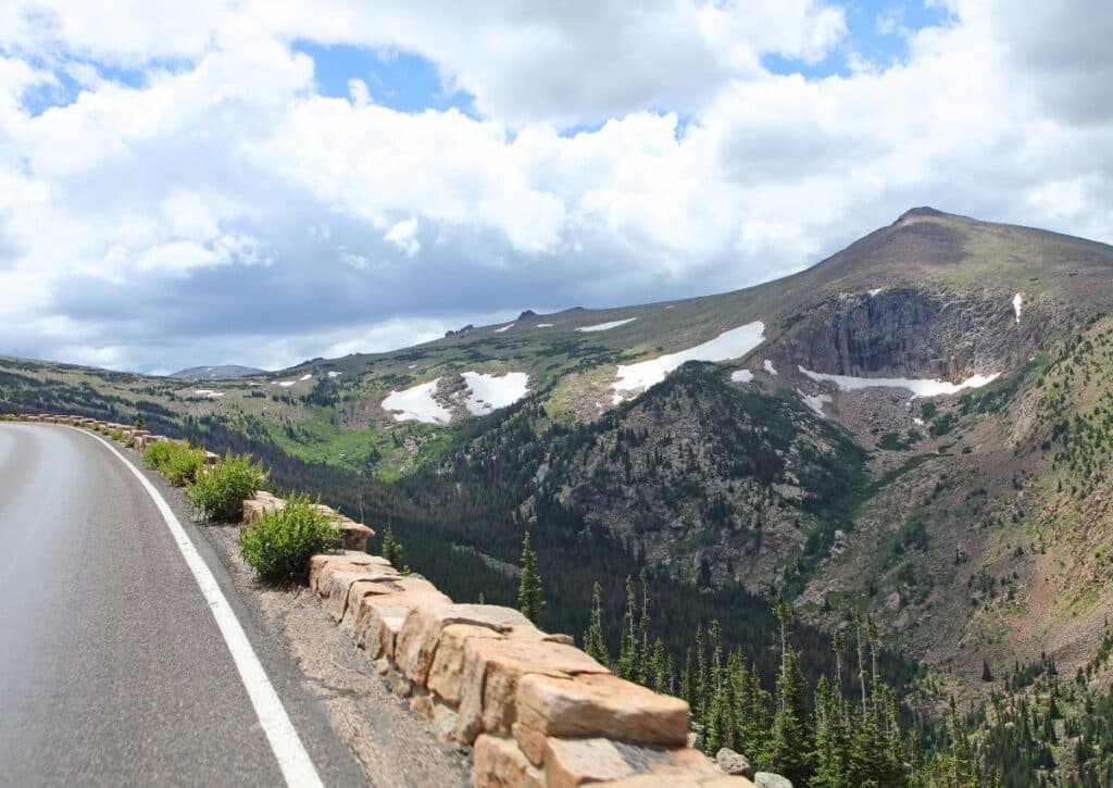
Spanning a distance of 48 miles between the towns of Estes Park and Grand Lake, this iconic road offers a blend of awe-inspiring vistas, historical significance, and an intimate experience with the natural wonders of Rocky Mountain National Park.
Preparing for Your Drive:
- Duration: While the road can be traversed in a few hours, the myriad of views and stops can turn this into a day-long adventure. Allocate around 6 hours or more to truly embrace the journey.
- Access Fee: Entrance to Rocky Mountain National Park is charged. As of the last available data, it’s $25 per vehicle for a 1-day pass, but the 7-day pass at $35 is a valuable option for those seeking multiple visits.
- Weather Preparedness: The alpine environment is known for rapid weather shifts. Pack versatile clothing – from short-sleeves to fleece layers, and don’t forget a rain jacket. Rapid changes can usher in sun, rain, hail, and even snow within hours.
- Essentials to Carry: A camera is a must. Whether it’s a serene lakescape or a bighorn sheep in its natural setting, the photo opportunities are countless. Ensure you have snacks and water, as the only available option is at the Alpine Visitor Center, situated at the road’s pinnacle. Given the remote nature, consider having spare tissue or toilet paper for emergencies.
- Fuel Up: Before embarking, fill up your gas tank, especially since there are no gas stations in the park.
- Morning Prep: Kickstart your journey with a hearty breakfast. Places like Notchtop offer delightful options. If you’re in a rush, Raven’s Roast Coffee Lounge provides quick, energizing bites and brews.
- Visitor Center: Before diving into your adventure, a visit to the National Park Visitor Center is beneficial. Not only can you procure detailed maps, but the friendly staff also offer invaluable tips and updates on road conditions.
- Remembering the Journey: It’s more than just a drive; it’s an experience. As you traverse from montane forests of aspen and ponderosa pine to the expansive alpine tundras, and as you climb 4,000 feet to reach elevations where the mountains seem to touch the clouds, the road becomes a story. From the vibrant life of the tundra, with its array of alpine plants and wildlife, to the history-laden paths where glaciers once lay, Trail Ridge Road is an adventure waiting to be embarked upon.
Best Stops on the Trail Ridge Road
The Trail Ridge Road, acclaimed as one of the most scenic drives in the United States, takes travelers on a transformative journey through diverse landscapes of the Rocky Mountain National Park.
Starting in the vibrant Estes Park and culminating in the tranquil Grand Lake, this route is punctuated with must-see stops that offer breathtaking vistas and unique experiences.
This guide endeavors to detail each significant stop, ensuring you get the most out of your 48-mile journey.
Estes Park
Starting your journey at Estes Park, located at an elevation of 7,522 feet, is ideal. This picturesque Colorado town serves as the eastern gateway to the Rocky Mountain National Park.
It’s not just a starting point; it’s an experience in itself. Estes Park seamlessly blends its rich history with modern amenities, offering you a delightful mix of old-world charm and contemporary comforts.
Make sure to visit the Estes Park Museum, which delves into the town’s history dating back to the early 20th century. The town also boasts an array of over 200 unique shops and boutiques, perfect for shopping enthusiasts looking for local crafts and souvenirs.
For outdoor enthusiasts, there are abundant activities, including hiking trails like the popular Gem Lake Trail and fantastic fishing opportunities in the Big Thompson River.
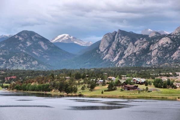
If your visit falls during the warmer months, don’t miss the Estes Park Aerial Tramway, which provides breathtaking panoramic views of the town and its stunning natural backdrop.
Taking some time in Estes Park is not just about acclimatization but also an opportunity to explore and prepare for the elevations and sights that await you on the Trail Ridge Road.
Many Parks Curve Overlook
A mere 9 miles along the Trail Ridge Road from Estes Park lies the Many Parks Curve Overlook, which lives up to its name by offering sweeping panoramas of several park valleys.
This vantage point treats visitors to clear views of Horseshoe Park, Moraine Park, and even Estes Park itself. The landscape here is a visual representation of the Rocky Mountain National Park’s diverse ecosystems, ranging from meadows to dense forests.
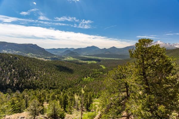
It’s not uncommon to spot herds of elk grazing in the valleys, especially during the serene moments of dawn and dusk. Beyond the captivating vistas, the Many Parks Curve Overlook serves as an educational point.
National Park Service has thoughtfully placed informative plaques here, providing valuable insights into the geology, flora, and fauna of the region. For those fortunate enough to travel here during early summer, this overlook transforms into a prime spot for wildflower viewing.
The vibrant colors of the blossoms set against the backdrop of towering peaks create a mesmerizing landscape, making this stop a favorite for photographers and nature enthusiasts. In essence, the Many Parks Curve Overlook offers not just a view but an immersive experience that educates and enchants.
Rainbow Curve Overlook
Just about 3 miles from the Many Parks Curve Overlook, the Rainbow Curve Overlook is perched at an elevation of 10,829 feet. Its name perfectly encapsulates the visual delight it offers, as this overlook seems to capture a spectrum of nature’s wonders.
The highlight here is the vast expanse of Horseshoe Park, sprawling below like nature’s amphitheater. You can also catch sight of the Alluvial Fan, a fascinating geomorphic feature formed by the Lawn Lake flood of 1982.
It’s a complex network of water channels that weaves across the land, a sight that intrigues both geology enthusiasts and casual visitors.
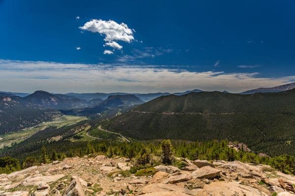
Enhancing the scenic beauty are the Beaver Ponds, serene water bodies nestled amidst the rugged terrain. These ponds not only add to the landscape’s aesthetic appeal but also support a diverse range of flora and fauna.
While the panoramic views are the main draw, Rainbow Curve Overlook also offers opportunities for short walks. Trails branching off from the parking area lead visitors closer to some of the mentioned features, allowing for a more intimate experience of the landscape.
Visiting this overlook brings the realization of how each curve and corner of the Trail Ridge Road offers a unique window into the heart of the Rockies, with the Rainbow Curve Overlook being one of the most vivid and memorable.
Forest Canyon Overlook
Situated just 2 miles from the Rainbow Curve Overlook, the Forest Canyon Overlook presents visitors with an entirely different, yet equally stunning, facet of the Rocky Mountain National Park’s varied landscapes.
Upon reaching the overlook, the immediate draw for one’s eyes is the vast and deep expanse of Forest Canyon. This canyon is a testament to nature’s erosive powers, having been carved out over millennia by glaciers and flowing water.
Its rugged terrain, dense with spruce and fir forests, stands in stark contrast to the surrounding alpine meadows, offering a sense of the park’s depth and diversity.
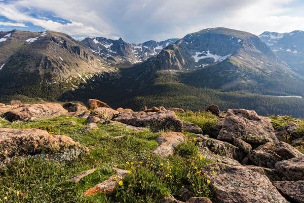
Elevating the visual spectacle further is the view of Hayden Gorge, a narrow, steep-walled canyon hidden within Forest Canyon. Its craggy walls and the shadows they cast, especially during the golden hours, are a photographer’s dream.
Adjacent to Hayden Gorge are the serene waters of the Gorge Lakes. Nestled amidst the rugged terrain, these lakes mirror the sky and surrounding peaks, creating picture-perfect reflections.
The Forest Canyon Overlook, with its diverse set of landscapes, serves as a gentle reminder of the varied wonders that await at every turn on the Trail Ridge Road.
Rock Cut
As you continue along Trail Ridge Road, about 2.5 miles from the Forest Canyon Overlook, you’ll approach the iconic Rock Cut. This particular point in your journey offers more than just a scenic stop—it’s a gateway to the ethereal alpine tundra.
The name “Rock Cut” stems from the man-made cut through rock, made to facilitate the road. What’s fascinating is how this rugged, seemingly inhospitable rock face teems with life. The delicate alpine plants here have adapted to the harsh conditions, showcasing nature’s resilience.
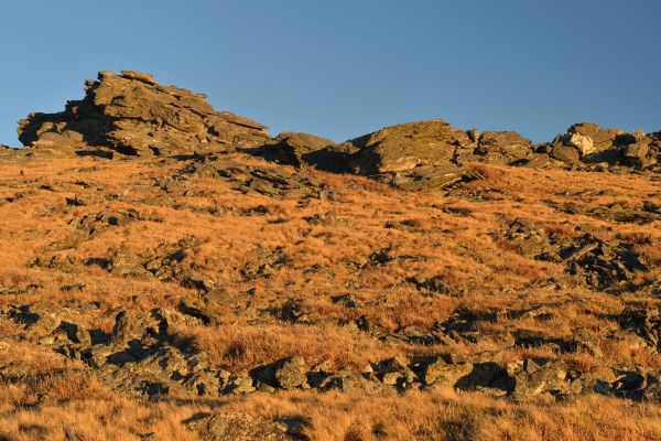
Upon parking, visitors are immediately greeted with breathtaking panoramas, including views of the vast Big Thompson River Valley below. But it’s not just about looking from afar.
For those keen to explore, the Toll Memorial Trail leads from Rock Cut to the top of Tombstone Ridge, offering a closer look at the tundra environment.
This relatively short trail, spanning just over a mile round trip, provides insights into the ecology, geology, and history of the area. Interpretative signs dot the path, ensuring travelers are informed about the unique environment they’re traversing.
The Rock Cut also stands as a testament to human engineering coexisting with nature. Constructing a road at this elevation, with its associated challenges, showcases the desire to make nature’s wonders accessible to all.
Visiting Rock Cut is about merging experiences—of appreciating both the natural beauty of the Rockies and understanding the human efforts in making such wonders accessible.
Tundra World Nature Trail
Just a mere 1.5 miles from Rock Cut, the Tundra World Nature Trail beckons travelers into a world often overlooked despite its visible expanse.
This short walking trail, set against the backdrop of the expansive Rockies, serves as a captivating introduction to the alpine tundra ecology, an environment uniquely crafted by nature’s harshest conditions.
Winding its way through an environment devoid of tall trees but rich in biodiversity, the trail stretches just over a mile, making it an accessible excursion for most visitors.
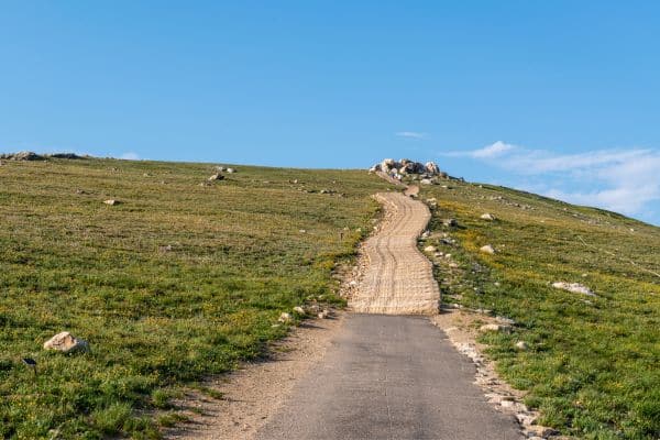
Here, amid the rocky terrain, nature enthusiasts will discover a tapestry of resilient plants, each adapted to thrive despite the high-altitude challenges.
Vibrant wildflowers, small yet persistent, punctuate the landscape with bursts of color, standing in defiance of the stark surroundings. Each step on the trail offers lessons in resilience and adaptation. Interpretative signs dot the path, revealing fascinating facts about the flora and fauna that call this harsh environment home.
These signs guide visitors through a living museum, where every plant and creature has a story rooted in survival and endurance.
The Tundra World Nature Trail, in its simplicity, showcases the wonders of an ecosystem that thrives where others might falter. It’s not just a trail; it’s an invitation to appreciate the delicate balance of life on the high-altitude tundra, just a stone’s throw from the Trail Ridge Road.
Fairview Curve Overlook
Only 5 miles from Milner Pass, you’ll encounter the Fairview Curve Overlook, an essential pit stop that gifts visitors with panoramic views reminiscent of painted masterpieces.
Perched at an elevation of 10,120 feet, the overlook grants you a bird’s-eye perspective on the vastness of the Never Summer Mountains and the Grand Ditch. The Never Summer Mountains, with their year-round snow-capped peaks, truly live up to their name.
These mountains, with their rugged profiles, provide a stark contrast to the sprawling valleys below and exemplify the diverse topography of the Rocky Mountain National Park.
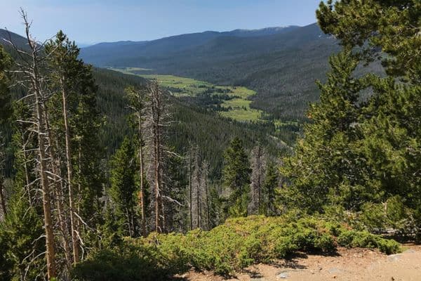
An added layer of intrigue at Fairview Curve is the sight of the Grand Ditch. This man-made water diversion project, carved into the mountainside, is a testament to human engineering amidst nature’s grandeur.
While it serves a functional purpose, diverting water east across the Continental Divide, its presence also sparks discussions about nature conservation and human impact. If wildlife watching is on your agenda, this overlook might just be your lucky spot. The area is known for its regular sightings of moose, especially during dawn and dusk.
Their graceful presence against the backdrop of towering mountains creates an unforgettable tableau. Fairview Curve Overlook isn’t just a place to stretch your legs. It’s a location where the blend of natural beauty, wildlife, and human history comes together, providing a multi-faceted experience that enriches your journey along the Trail Ridge Road.
Gore Range Overlook
Continuing a mere 3 miles from Fairview Curve Overlook, the Trail Ridge Road offers up the Gore Range Overlook, another spellbinding vantage point in the vast collection of Rocky Mountain vistas.
Situated at approximately 12,000 feet, this overlook presents a broad, unobstructed panorama of the distant Gore Range. The Gore Range, with its jagged peaks and alpine beauty, serves as a stunning backdrop to the expansive valleys below.
This particular range is geologically distinct, known for its ancient rocks and challenging terrains, making it a haven for mountaineers and geology enthusiasts alike.
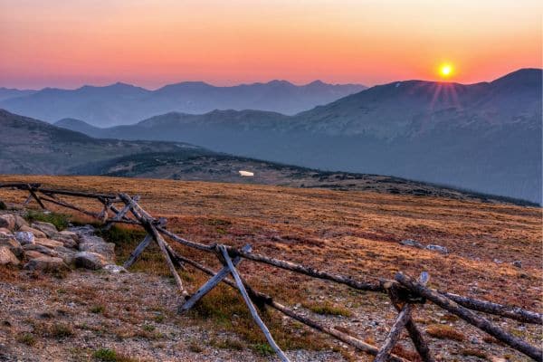
At this elevation, the overlook offers an intimate experience with the alpine tundra. Here, amidst the windswept landscapes, you’ll find resilient vegetation, uniquely adapted to thrive in the challenging conditions.
Small clusters of wildflowers, exhibiting vibrant hues, stand in defiance to the otherwise stark landscape, offering bursts of color against the muted tones of rocks and soil. Visitors are encouraged to take a moment, breathe in the crisp mountain air, and immerse themselves in the tranquil ambiance.
The distant, echoing calls of native birds, combined with the gentle rustling of tundra grasses, create a soundscape as mesmerizing as the views.
The Gore Range Overlook, while one of many stops along the iconic road, captures the essence of the Rockies—a harmonious blend of rugged landscapes, delicate ecosystems, and boundless skies that inspire awe and reflection.
Lava Cliffs Overlook
Venturing another 2 miles from Gore Range Overlook, the Lava Cliffs Overlook awaits, offering a unique geological narrative amid the journey through the Rockies.
Set at a formidable altitude of around 12,080 feet, this viewpoint stands out with its stark, rugged terrain sculpted by ancient volcanic activity. The Lava Cliffs are the remnants of a tumultuous past when molten lava flowed over the landscape, eventually cooling and solidifying to create the dramatic cliffs we see today.
These jet-black formations sharply contrast with the surrounding greenery and snowy peaks, making it a photographer’s delight. Besides its geological marvel, the Lava Cliffs area provides a pristine habitat for various alpine creatures.
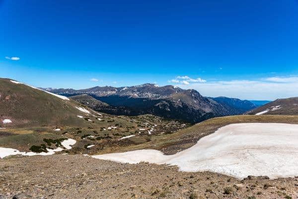
If you’re lucky, you might spot pikas or even the elusive ptarmigan darting between the rocks, their natural camouflage making them a challenge to discern against the rocky backdrop.
While the overlook is easily accessible from the road, those seeking a closer look can venture onto the short trails leading to the base of the cliffs.
Here, one can truly appreciate the magnitude of these formations and ponder the immense forces of nature that shaped them.
Lava Cliffs Overlook, with its blend of geology, biology, and sheer natural beauty, adds a unique chapter to the Trail Ridge Road story, emphasizing the diverse tapestry of landscapes and histories that the Rocky Mountain National Park encompasses.
Medicine Bow Curve Overlook
Situated at a commanding elevation of 11,660 feet, the Medicine Bow Curve Overlook delivers a mesmerizing panorama of the Medicine Bow Mountains, now christened as the Never Summer Mountains.
As you approach this curve on the Trail Ridge Road, there’s a tangible sense of being on top of the world. This vantage point isn’t just about elevation; it’s about the expansive views that capture both the beauty of nature and the marvel of geological evolution.
Descend from the nearby Alpine Visitor Center, and you’ll find the Medicine Bow Curve, an inviting haven where visitors often lay out their picnics amidst the cool mountain air.
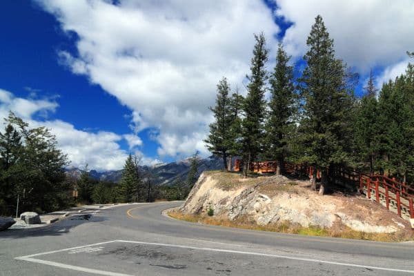
Here, the vast skies stretch endlessly, while the breezes carry tales from ancient times, when glaciers carved out these landscapes. It’s a place where time seems to pause, letting you savor each moment and each breathtaking view.
Whether you’re a photographer seeking that perfect shot or a traveler looking for a moment of tranquility, the Medicine Bow Curve Overlook stands as a testament to the Rocky Mountain National Park’s majestic allure.
Alpine Ridge Trail
Amidst the vast wilderness of the Rocky Mountain National Park, the Alpine Ridge Trail is a sparkling gem that offers an unparalleled experience of the high alpine world.
Despite being a mere quarter-mile in length, every step on this trail promises a new discovery, with panoramas that are as breathtaking as they are humbling.
Starting at an elevation of 11,796 feet, this trail challenges even seasoned hikers with its steep ascent. But those willing to take on the challenge are richly rewarded.
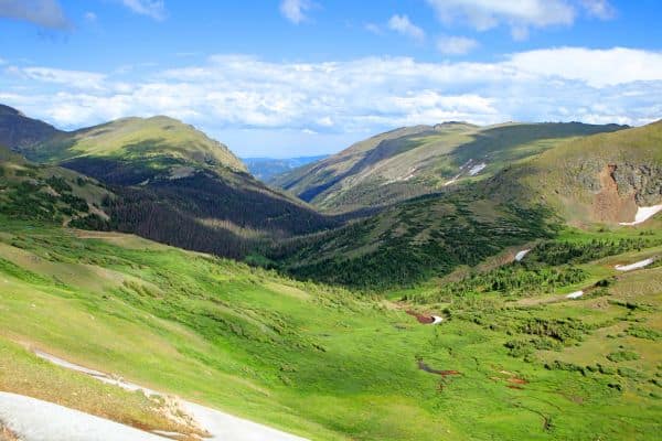
As you climb the 300 feet in elevation, the landscape transforms dramatically, showcasing the raw beauty and fragility of the alpine tundra. It’s a place where, under the vastness of the sky, you’re introduced to an ecosystem that thrives against all odds.
With each upward stride, the sweeping views of the park become even more mesmerizing. The vibrant wildflowers paint the landscape with a riot of colors, while the distant peaks stand tall, cloaked in snow and mystery. Here, the air is crisp, filled with the scent of cold rock and wild blooms.
The silence is only broken by the gentle whispers of the wind or the distant calls of alpine birds. Reaching the summit of the Alpine Ridge Trail is an achievement in itself, a moment of triumph and reflection.
From this vantage point, the world below seems boundless, a tapestry of valleys, forests, and waterways. The trail, though short, serves as a poignant reminder of nature’s grandeur and resilience, and of our own small yet significant place within it.
Grand Lake
At the western terminus of the Trail Ridge Road lies Grand Lake, a picturesque mountain town situated at an elevation of 8,369 feet. This charming town serves as the gateway to the western side of Rocky Mountain National Park and offers a delightful blend of natural beauty and recreational opportunities.
Grand Lake itself is the largest natural lake in Colorado, renowned for its clear waters and stunning mountain backdrop. It’s a hub for water-based activities such as boating, fishing, and kayaking. Anglers will find themselves in paradise here, with opportunities to catch a variety of trout species, including the native Colorado cutthroat.
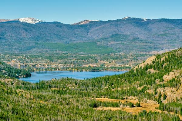
The town’s main street is lined with historic buildings and quaint shops, inviting you to explore its rustic charm. Don’t miss the opportunity to visit the Kauffman House Museum, which provides insights into the town’s history and the early days of tourism in the Rockies.
For those seeking outdoor adventures, Grand Lake offers an abundance of hiking trails, including the East Shore Trail, a scenic path that skirts the lake’s edge. There’s also the Adams Falls Trail, a short hike that leads to a captivating waterfall.
The nearby Rocky Mountain Repertory Theatre presents entertaining performances during the summer months, offering a cultural experience amidst the natural beauty.
Grand Lake is not only a destination in itself but also a gateway to the west side of the national park, providing access to a different set of trails and attractions. It’s a place where you can savor the serenity of mountain lakes, immerse yourself in history, and embark on new adventures in the Rockies.
5 Must Do Hikes on the Trail Ridge Road
Trail Ridge Road in Rocky Mountain National Park (RMNP) offers a variety of stunning vistas, alpine tundras, and myriad hiking opportunities. If you’re visiting Trail Ridge Drive, here are some trails you can consider:
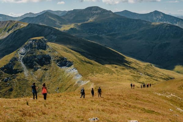
Alpine Ridge Trail:
Length: 0.6 miles round trip
What to Expect: This short, steep trail takes you to panoramic views of the alpine world. Starting from the Alpine Visitor Center, you’ll be greeted by a stair-step trail, which may seem slightly demanding due to the elevation but is short enough for most visitors to manage. The trail is surrounded by alpine vegetation and offers breathtaking views of the Never Summer Mountains.
Ute Trail:
Length: It varies, but a popular segment is 4 miles round trip to Tombstone Ridge.
What to Expect: The Ute Trail offers a unique chance to hike through the alpine tundra. Starting at the Ute Crossing Trailhead off Trail Ridge Road, this relatively flat trail provides expansive views of the park and is an excellent spot to see marmots, elk, and other alpine wildlife. The trail can be extended for longer hikes, but be aware of afternoon thunderstorms.
Tundra Communities Trail:
Length: 1.1 miles round trip
What to Expect: Located at Rock Cut, this trail showcases the fragile alpine tundra ecosystem. Interpretative signs along the way provide insights into the flora, fauna, and geological features of this high-altitude environment. You can expect panoramic views, and if you’re lucky, sightings of ptarmigans and pikas.
Hidden Valley Creek Trail:
Length: 2 miles round trip
What to Expect: A lower elevation trail, it’s an easy, family-friendly hike. It’s particularly lovely during the summer months when the meadows bloom with wildflowers. The trail winds its way along a creek, and there are places to picnic.
Forest Canyon Overlook:
Length: 0.2 miles round trip
What to Expect: This is more of a short walk than a hike, but it’s a must-visit for the spectacular views it offers. You’ll be looking down into Forest Canyon and out to the Continental Divide, seeing a mix of forest, meadow, and rugged mountain terrains.
When hiking in RMNP, especially along Trail Ridge Road, it’s crucial to be prepared. The altitude can affect hikers not used to it, so it’s always a good idea to stay hydrated, take things slow, and be aware of the symptoms of altitude sickness.
Additionally, the weather can change rapidly in the mountains, so bring layers, rain gear, and be cautious of afternoon thunderstorms in the summer months.
Wildlife Seen While Driving the Trail Ridge Road
Trail Ridge Road in Rocky Mountain National Park (RMNP) takes you through diverse ecosystems, from montane forests to alpine tundra, each with its unique set of wildlife.
When visiting Trail Ridge Road, here’s a glimpse of the wildlife you might encounter:
Elk: The majestic elk, one of the most iconic sights in RMNP, frequently roams the meadows around Kawuneeche Valley and Farview Curve.
Especially during dawn and dusk, these large herbivores graze near the roadside, their antlers often catching the first or last light of the day.
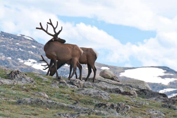
Elk are most active during the fall rutting season when males can be heard bugling to assert dominance and attract females.
Mule Deer: Mule deer, recognized by their large, mule-like ears, are a common sight throughout the park. They can often be spotted in the wooded areas near Deer Ridge Junction and Hidden Valley, gracefully moving between trees and foraging. Their gentleness and elegance are a calm contrast to the rugged mountain landscape they inhabit.
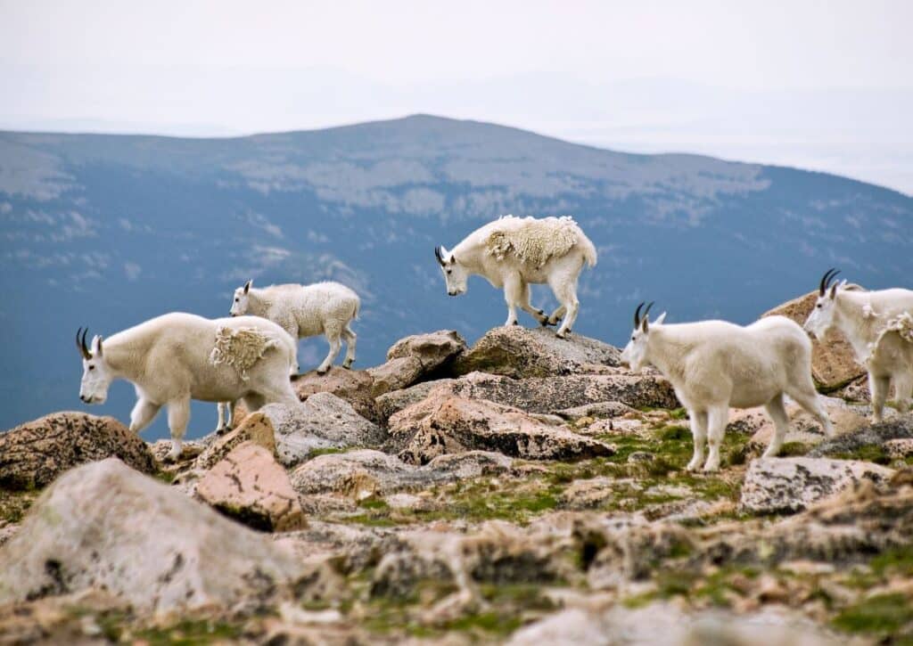
Bighorn Sheep: The sure-footed bighorn sheep are masters of high-altitude living. They are frequently spotted navigating the rocky terrain around Lava Cliffs and the areas near the Alpine Visitor Center.
Their curved horns and agility, especially in such rugged terrain, make them a thrilling sight for visitors hoping for a glimpse of the park’s wild residents.
Yellow-bellied Marmots: These sun-bathing rodents are a delightful sight in the alpine tundra regions of Trail Ridge Road.
Around the Rock Cut area, marmots can be seen lounging on sun-warmed rocks or darting into burrows. Their stout bodies and curious nature often make them a favorite among visitors.
American Pika: The tiny American pika is a bustling presence around the talus slopes near Rock Cut and Gore Range Overlook. Their sharp calls often give away their location before they are seen.
Busy collecting and storing plants for winter, pikas are a symbol of the delicate yet resilient alpine ecosystem.
Ptarmigan: The elusive ptarmigan is an alpine specialist. In open tundra areas near the Toll Memorial Trail and Forest Canyon Overlook, visitors might spot these birds, perfectly camouflaged against the rocky landscape.
Their seasonal plumage, brown in summer and white in winter, is a marvel of adaptability.
Snowshoe Hare: The snowshoe hare, with its distinctive large feet, is adapted for life in snowy regions. While they can be somewhat elusive, the shrubby areas near Medicine Bow Curve and Rainbow Curve offer chances for sightings.
Their fur changes color with the seasons, from brown in summer to white in winter, aiding their survival in various conditions.
Clark’s Nutcracker: The sharp-eyed visitor might catch sight of the Clark’s Nutcracker around the Alpine Visitor Center and Many Parks Curve.
These intelligent birds are often seen flying from tree to tree or foraging for seeds on the ground. Their striking appearance and bold nature make them a memorable sight.
Ground Squirrels: The small and lively ground squirrels can be seen scurrying around areas like Milner Pass and Fairview Curve.
Active during sunny days, these creatures add a dynamic element to the alpine landscape, dashing in and out of burrows or standing alert to survey their surroundings.
Coyotes: A rarer sight, coyotes bring a touch of wilderness mystique to RMNP. These adaptable predators might be spotted hunting for small prey in open areas near Farview Curve and Deer Ridge Junction during the early morning or late evening.
Their presence is a testament to the diverse and thriving ecosystem along Trail Ridge Road.
Experience Beyond the Road
The Broader Rocky Mountain National Park Experience
Rocky Mountain National Park is more than just a drive through Trail Ridge Road; it’s a vast, diverse expanse of untouched wilderness, alpine lakes, dense forests, and towering peaks.
Visitors can immerse themselves in over 300 miles of hiking trails, ranging from easy walks through wildflower-filled meadows to challenging ascents up rugged mountainsides.
Popular destinations like Emerald Lake, Sky Pond, and the Bear Lake area provide opportunities to witness the park’s diverse ecosystems, from subalpine wetlands to airy tundras.
The park also hosts a plethora of outdoor activities, such as camping under star-filled skies, snowshoeing in hidden valleys, and wildlife watching, where the morning mist might reveal a grazing moose or a herd of elk.
The Continental Divide and Its Significance
Serving as North America’s hydrological backbone, the Continental Divide runs right through RMNP. It determines the flow of water, sending streams and rivers either east to the Atlantic or west to the Pacific.
But beyond its geographical significance, the Divide in RMNP is a place of stunning beauty and breathtaking vistas. Hikers who tread paths like the Flattop Mountain Trail or the Continental Divide National Scenic Trail will straddle two worlds, witnessing the interplay of ecosystems, weather patterns, and terrains. It’s also a symbolic representation of the park itself, a place where the wild heart of nature meets the spirit of exploration.
Nearby Scenic Byways
The surrounding region of RMNP boasts some of Colorado’s most beautiful scenic byways, offering travelers a feast for the eyes and soul. The Peak to Peak Scenic Byway is Colorado’s oldest, taking visitors on a journey from Estes Park through the Indian Peaks Wilderness, past charming towns like Nederland, and down to the historic Central City. It’s a drive that encapsulates the essence of Colorado’s Front Range.
Another gem is the Colorado River Headwaters Scenic Byway, which traces the mighty river’s journey from its humble origins in RMNP’s alpine tundra down through verdant valleys, offering unparalleled views and insights into the river that carved the Grand Canyon.
Beyond these, routes like the Cache La Poudre-North Park Scenic Byway beckon, each promising unique vistas, historic landmarks, and the timeless allure of the open road.
Pro Tips for Visiting Trail Ridge Road
- Altitude Awareness: Trail Ridge Road reaches elevations above 12,000 feet. Visitors not accustomed to high altitudes might experience symptoms of altitude sickness, such as headaches or shortness of breath. It’s crucial to stay hydrated, move slowly, and consider spending a day or two at lower elevations to acclimatize before exploring the highest parts of the road.
- Variable Weather: Even in summer, temperatures can be chilly at higher elevations, and snowfall is not unheard of. Pack layers, including a windbreaker or rain jacket, even if the day starts warm and sunny. Thunderstorms, often with lightning, are frequent in the afternoons, so aim for early morning excursions.
- Limited Night Visibility: While nighttime drives can be serene with starry skies, be aware that the road has many sharp curves and lacks guardrails in some sections. Wildlife is also more active during dawn and dusk, posing a potential hazard for drivers. If driving at night, proceed with extra caution.
- Fuel Up: There are no gas stations directly on Trail Ridge Road. Ensure you have a full tank before you start your journey, as the nearest fueling stations are in the gateway towns of Estes Park and Grand Lake.
- Respect Wildlife: While it’s tempting to get close for a photo, always observe wildlife from a safe distance. Use binoculars or a zoom lens to capture the moment. Feeding wildlife is not only illegal but also harmful to the animals.
- Parking Considerations: Parking areas, especially at popular spots like the Alpine Visitor Center, can fill up quickly, especially between 10 a.m. and 3 p.m. Consider visiting popular spots early in the morning or later in the afternoon to avoid peak crowds.
- Sun Protection: The sun’s rays are much stronger at higher altitudes. Wear a wide-brimmed hat, sunglasses, and apply a broad-spectrum sunscreen, even on cloudy days.
- Stay Informed: Before heading out, check the National Park Service website or contact the park’s visitor centers for road conditions, especially if visiting in late spring or early fall when snow closures might occur.
- Picnic Preparation: There are several picturesque picnic spots along the road. Pack a meal, but remember, due to the altitude, water boils at a lower temperature, so cooking times might be longer than expected.
- Driving Etiquette: The road is narrow in places, with many twists and turns. If you’re driving slower to take in the views (and it’s recommended that you do), use pull-offs to let faster-moving vehicles pass. This ensures a pleasant experience for everyone on the road.
A visit to Trail Ridge Road is an unforgettable experience, but a little preparation goes a long way in ensuring a smooth and enjoyable journey through one of America’s most breathtaking landscapes.
Key Takeaways
Elevated Beauty: Trail Ridge Road offers a unique journey through diverse ecosystems of Rocky Mountain National Park, from dense forests to alpine tundras, providing unparalleled vistas and close encounters with iconic wildlife.
Beyond the Road: The broader RMNP experience, the significance of the Continental Divide, and nearby scenic byways like Peak to Peak amplify the region’s allure, revealing Colorado’s multifaceted natural beauty.
Preparation is Key: To truly savor the experience, visitors should be aware of altitude considerations, ever-changing weather patterns, and specific driving challenges unique to high mountain roads.
Respect and Responsibility: Ensuring the safety and well-being of both visitors and the environment requires adhering to guidelines, from not feeding wildlife to practicing safe driving etiquette.
Lasting Memories: With adequate preparation and respect for its natural wonders, Trail Ridge Road promises a transformative experience, leaving visitors with memories of awe-inspiring landscapes and the timeless majesty of nature.

